Staring at a map of Chesterfield and wondering where to start? You are not alone. With so many subdivisions, new mixed-use pockets, and a wide spread of amenities, it can feel hard to zero in on the right fit. This guide gives you a simple, repeatable way to compare neighborhoods side by side so you can focus on the places that match your budget, commute, school assignment, and weekend routine. Let’s dive in.
How Chesterfield fits your life
Chesterfield sits in western St. Louis County, about 20 to 30 miles from downtown St. Louis, with major retail corridors, large parks, and a range of neighborhoods from long-established subdivisions to newer mixed-use hubs. You can explore city services, parks, and community updates on the City of Chesterfield site.
When you look at prices, remember that different data sources track different metrics. As of January 2026, Zillow’s ZHVI shows a typical home value around $545,000, while Redfin reports a median sale price near $452,000 for the same period. Metrics vary by method and time frame, so use them as context and verify with current listings.
Commute and daily drives
The main corridors are I‑64/US‑40 running east–west and MO‑141 running north–south, with I‑270 connecting you to the rest of the metro. Most households rely on cars, though MetroBus routes serve major corridors with limited suburban frequency. Spirit of St. Louis Airport in the west is a helpful business and general aviation option. Always map your morning commute and school drop-offs to stress test your short list.
Parks and weekend fun
You will find a strong park system and family attractions across the city. Faust Park is home to the Sophia M. Sachs Butterfly House, and Central Park hosts shows at the Chesterfield Amphitheater. In the Valley, the Monarch‑Chesterfield Levee Trail links to the Katy Trail via the Daniel Boone Bridge bike and pedestrian connection, a favorite for cyclists and runners. Learn how the levee system reshaped the Valley in this feature on the Monarch Levee transformation.
A simple neighborhood scoring framework
Use a 1–5 score in each category, then total your scores to compare neighborhoods. Keep it practical and data-backed.
A. Budget and market signals
- Check current list and sold prices, price per square foot, and days on market.
- Note whether most listings are new construction or resale.
- Use both a typical value metric (like ZHVI) and a median-sale snapshot to set expectations, then validate with current listings.
B. Home style and lot size
- Decide what fits your day-to-day: ranch, two‑story, or newer open‑plan.
n- Look at typical lot sizes, basement presence, and garage capacity.
- Compare yard maintenance and privacy to your lifestyle.
C. Schools and family services
- Confirm district assignment early. Chesterfield addresses may fall within Parkway or Rockwood. For reference, see Parkway West High and Marquette High in Rockwood.
- Map drive time to schools, child care, medical offices, and extracurriculars you use most.
D. Commute, transport, and car‑dependency
- Test drive times to top workplaces at your actual commute hours.
- Note access to I‑64/US‑40, MO‑141, and I‑270.
- If you travel often, factor in proximity to Spirit of St. Louis Airport.
E. Parks, recreation, and attractions
- Check travel time to Faust Park, Central Park and the Amphitheater, the Chesterfield Valley Athletic Complex, and trail access.
- If you bike, mark access to the Monarch‑Chesterfield Levee Trail and the Daniel Boone Bridge link to the Katy Trail.
F. Daily conveniences
- Pin your nearest groceries, pharmacies, coffee, hardware, and urgent care.
- A 5–10 minute drive for essentials is a common non‑negotiable.
G. HOA, permits, property tax, and flood context
- Review any HOA fees and rules for new developments or condo/townhome communities.
- Confirm local property tax components through county records.
- In the Valley, understand the area’s floodplain history and current levee and drainage improvements.
What each Chesterfield area offers
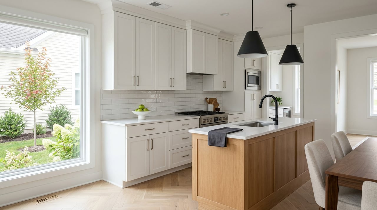
Chesterfield Valley: retail and newer housing
The Valley along I‑64/Outer 40 is known for big‑box retail, the outlets, and the Chesterfield Valley Athletic Complex. Inside certain developments you can walk to restaurants and entertainment, though the overall layout favors cars. See an overview of the outlets and shopping scene in this local magazine feature. Expect a range of newer condos, townhomes, and select single‑family options near the main corridors. Tradeoffs include higher traffic around peak shopping times and historic floodplain context with modern levee protections.
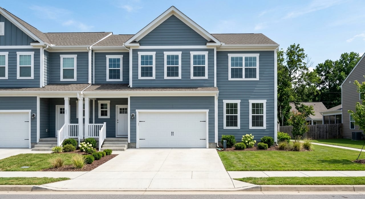
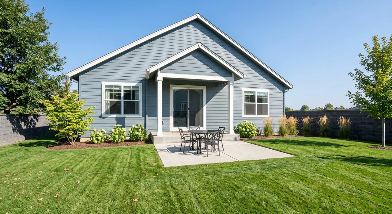
Mixed‑use nodes: Wildhorse Village and nearby
Newer master‑planned areas bring a compact, suburban‑center feel with apartments, townhomes, and some single‑family options near restaurants and lakeside retail. If you like an evening stroll to dinner and events, start with Wildhorse Village. You will likely see HOA structures and a price premium for convenience and newness.
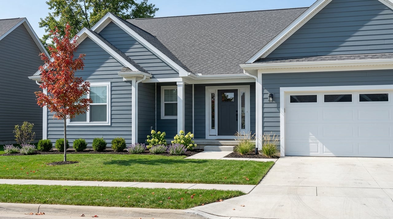
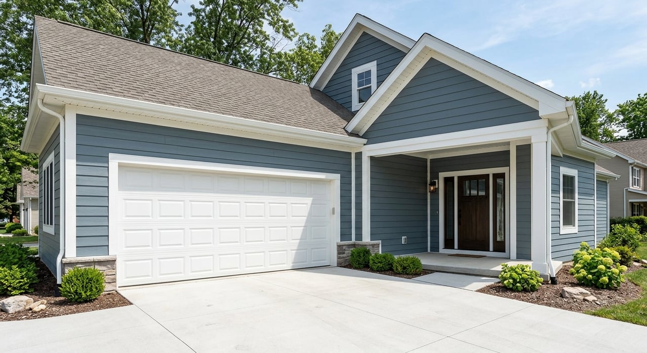
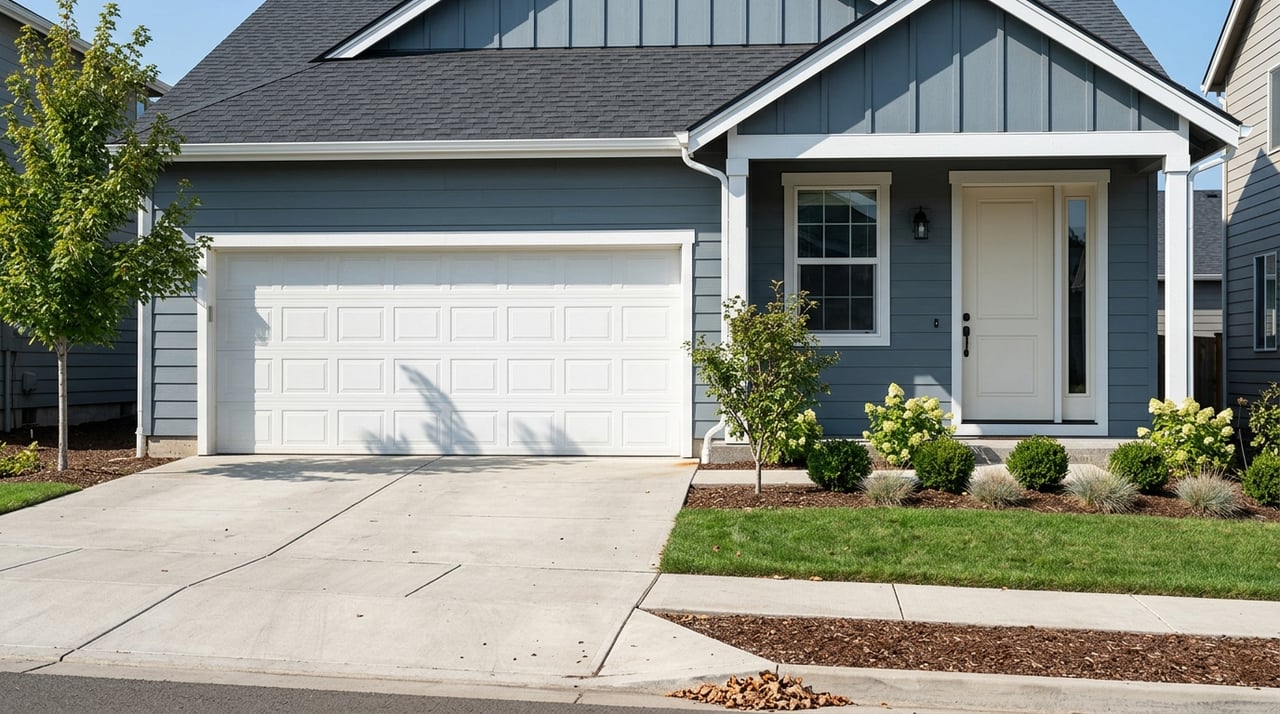
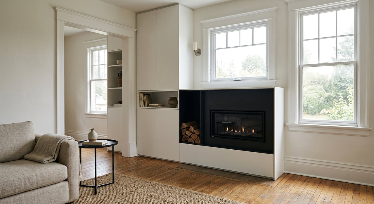
Established family subdivisions
Subdivisions built largely from the 1970s through the 1990s offer mature trees, larger lots, and a steady resale track record. Examples include areas around Schoettler Valley, Green Trails, and Meadowbrook. Expect traditional ranch, split‑level, and two‑story homes, with many renovations over time. These pockets are less walkable to retail, so factor in your drive time to groceries and schools.
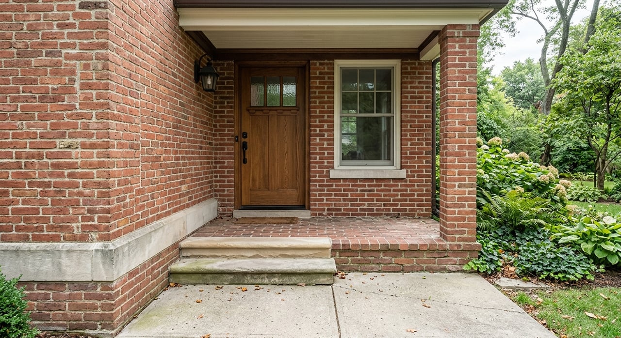
Estate and gated enclaves
If you want more space and privacy, Chesterfield has low‑density enclaves with larger lots and custom homes. You gain quiet streets and room to spread out, with a tradeoff of longer drives and higher upfront costs.
Near Parkway: school‑centric pockets
Many buyers plan around school assignment. Neighborhoods near Parkway campuses can offer short school drives and active local calendars. Always confirm the current boundary for a specific address and map your daily route.
Three quick comparisons
A. “Two‑car convenience”: Valley vs. Schoettler area
- Chesterfield Valley: Short errands, outlets, restaurants, and newer townhome and condo options close by. You may see more traffic during peak shopping hours. Learn more about the retail hub in this overview of the outlets.
- Schoettler area: Larger lots and mature neighborhoods with established subdivision identities. You trade walkable retail for a quieter residential feel and short school drives in many cases.
B. “Walkable center” vs. “estate privacy”
- Wildhorse Village: A compact layout with dining and entertainment within a short stroll. See the master plan at Wildhorse Village.
- Estate enclaves: Larger lots, custom builds, and gated options for maximum privacy. Expect a higher upfront price and more driving.
C. “School priority” comparison
- If Parkway West vs. Rockwood/Marquette is your main filter, map attendance boundaries first and score neighborhoods inside the target area. Start with district pages like Parkway West High and Marquette High, then confirm any specific address with the district.
How to pick your best fit in 30 minutes
- Set your budget band. Note the difference between typical value and median sale metrics, then verify with active listings.
- Map your morning. Test drive times to work and school during rush hour on I‑64/US‑40 and MO‑141.
- Pin your essentials. Mark groceries, pharmacy, urgent care, gym, and your favorite coffee.
- Check parks and play. Note drive times to Faust Park, Central Park, the Amphitheater, and your preferred trailheads.
- Shortlist three neighborhoods. Score each 1–5 in the seven categories above.
- Do a reality check. Review HOA rules, estimated property taxes, and flood context if you are considering the Valley.
Ready to tour your top picks with a local plan and a clear scorecard? Reach out to Lexi Engelbach to compare neighborhoods on the ground, refine your search, and move forward with confidence.
FAQs
What is the average home price in Chesterfield, MO?
- As of January 2026, Zillow’s ZHVI shows a typical value around $545,000, while Redfin’s median sale price is about $452,000. Metrics differ, so verify with current listings.
Which school districts serve Chesterfield addresses?
How walkable is Chesterfield day to day?
- Newer mixed‑use pockets offer short walks to dining and services, but most neighborhoods are car‑oriented. MetroBus runs on major corridors with limited suburban frequency.
What are the main commute routes to St. Louis job centers?
- I‑64/US‑40 is the primary east–west route, with MO‑141 and I‑270 connecting to other hubs. Always test your actual commute time at peak hours.
Should I worry about flooding in the Valley?
- The Valley has historic floodplain roots, and the levee and drainage systems have been improved. Review current disclosures and learn more about the area’s evolution in this Monarch Levee piece.
What parks and attractions are close to most neighborhoods?
- Many homes are within a short drive of Faust Park and the Butterfly House as well as concerts at the Chesterfield Amphitheater. In the Valley, the levee trail connects to the Katy Trail for longer rides.